Project Description
New Methods to Frame Landscape Design Solutions
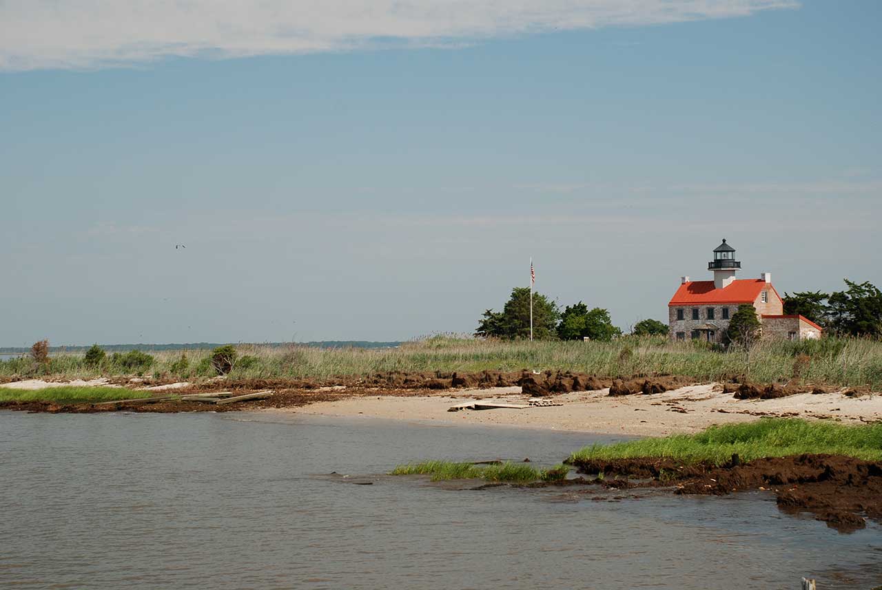
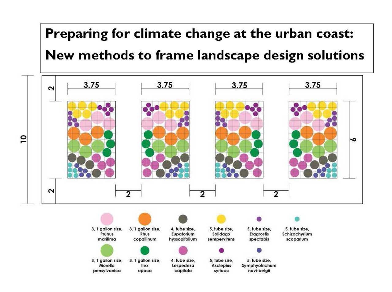
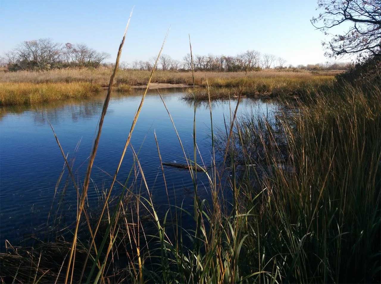
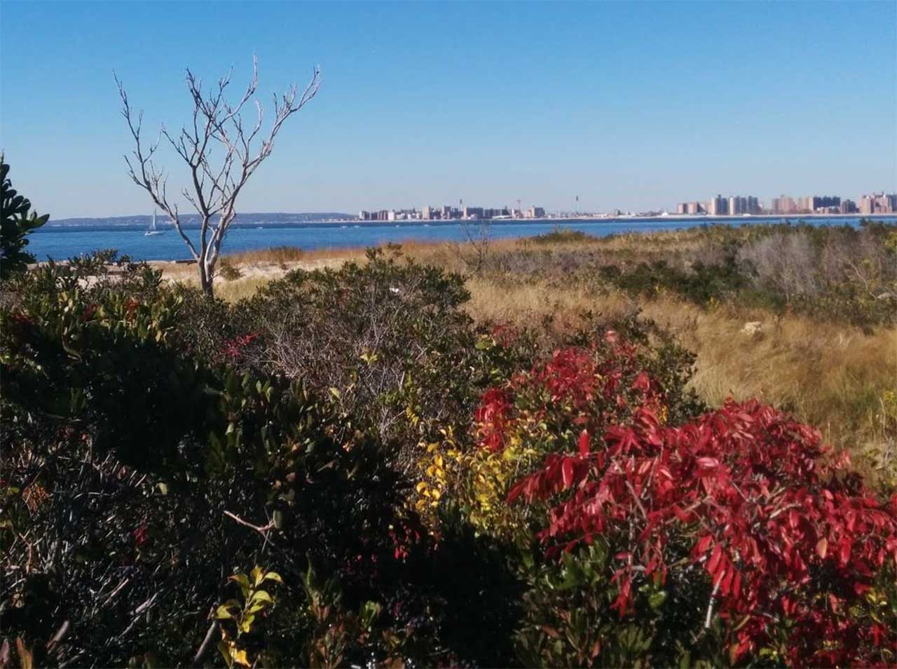
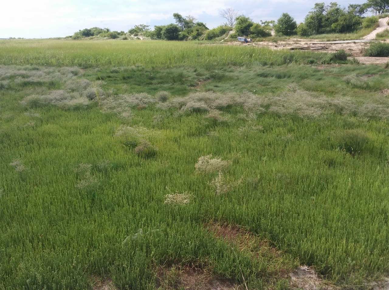
Sea level rise threatens coastal urban habitats, squeezed between the sea and hardscape. We conducted field and remote sensing investigations at Jamaica Bay, NY to determine habitat typologies most damaged by flooding and at risk from sea level rise. Then ten native plant gardens tested site preparation methods to restore habitat parcels away from flooding danger. A new protocol of long-term transects at the coast was installed to precisely monitor future habitat change/destruction, showing fine-grained vegetation dynamics and management needs. Together, these techniques provide factual foundations for future landscape design decisions that can be reiterated in many threatened urban coasts.